

Solutions for urban projects
Let people experience the future of their city.
Viewary turns an urban proposal into an interactive experience. People can explore the places that will change, understand what is planned and take part in the conversation.
AI as spatial guide
A project that can explain itself.
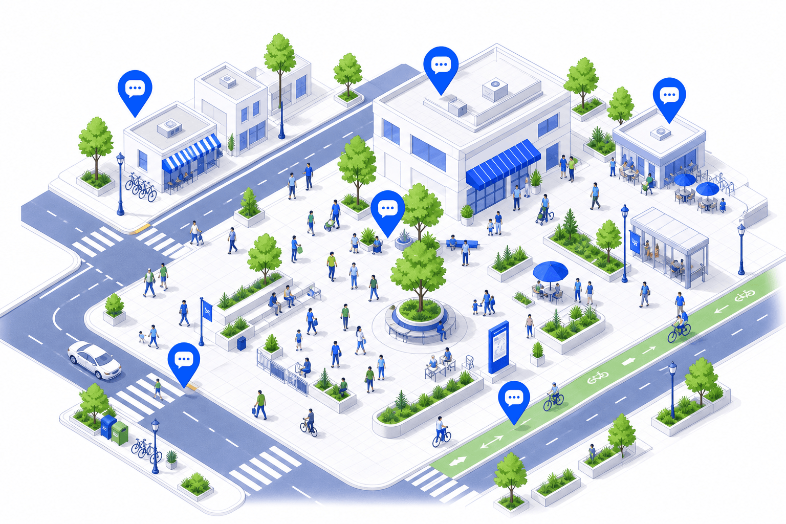
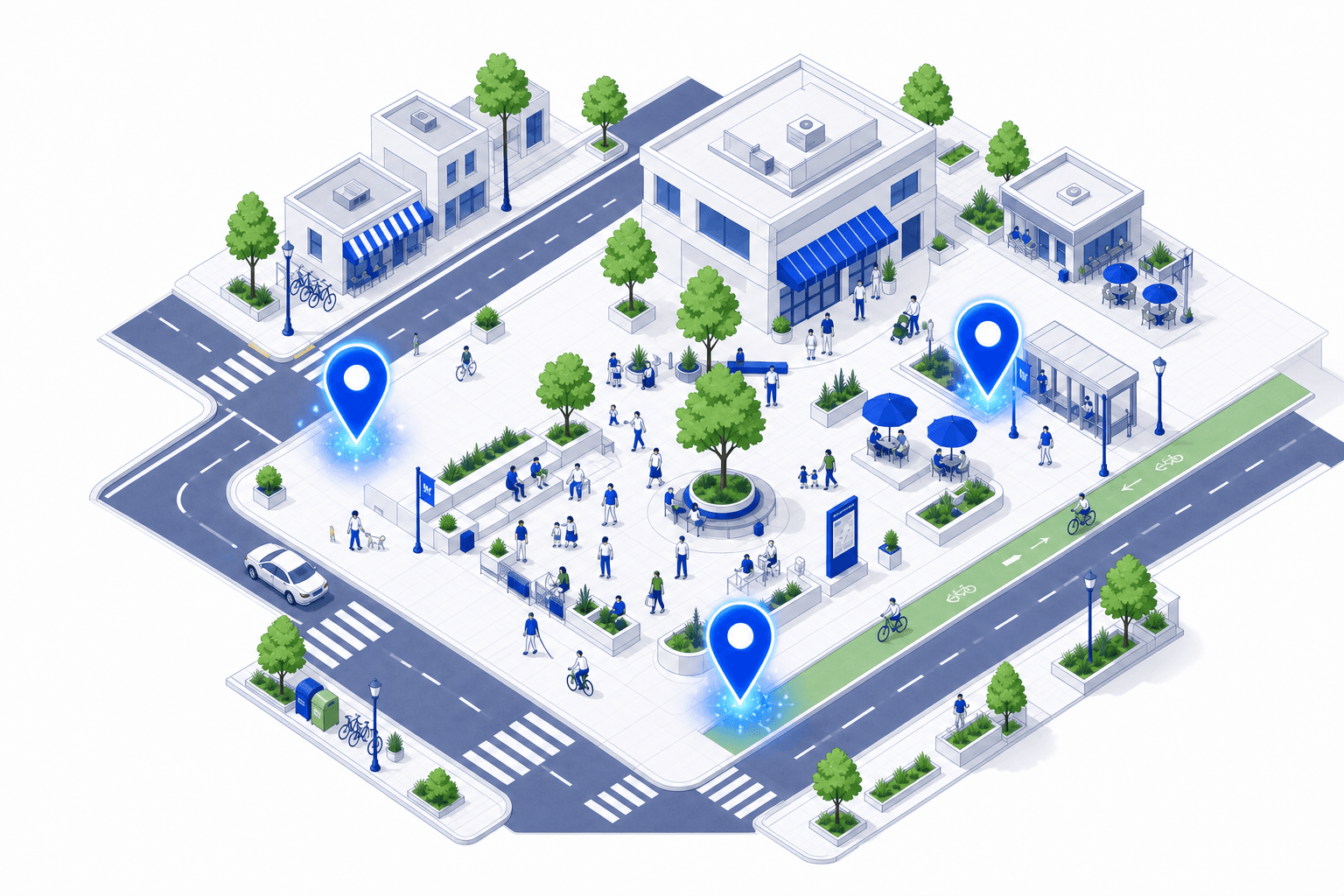
As people explore, Viewary's AI explains what they are seeing in clear language. It answers questions about the exact place in front of them and turns complex planning information into an understandable story.
Why is this street changing?
The street is being redesigned to give more space to walking and cycling, while keeping access for local traffic and deliveries.
How will this square feel at night?
New lighting and seating will make the square feel open and safe after dark, with activity focused around the café terraces.
Where will traffic and cycling go?
Through traffic moves to the parallel route. This street becomes a shared space with a protected cycle lane on both sides.
- Understand the proposal
- Explore your own questions
- Follow a relevant story
For organisations
One place to run the conversation.
Viewary gives organisations a powerful environment to set up a project, invite the right stakeholders and guide participation around the places that matter.
Set up the project
Add spatial content, define key areas and shape the experience.
Bring people together
Invite communities, teams and stakeholders into one shared space.
Stay in control
Follow activity, guide the conversation and see what is happening.
Riverside Quarter
Project overview
Spatial preview
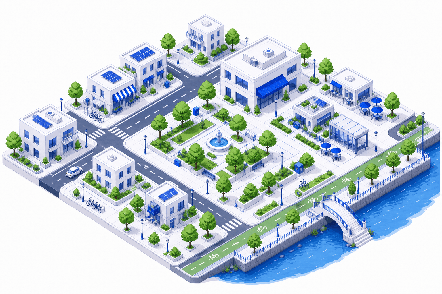
Stakeholder groups
248 invited · 186 joined
Participation
1,284
interactions this week
Recent spatial comments
- Today
Main square
12 new comments
- Today
North crossing
8 participants active
- Yesterday
Park edge
Scenario completed
From feedback to insight
Turn feedback into better decisions.
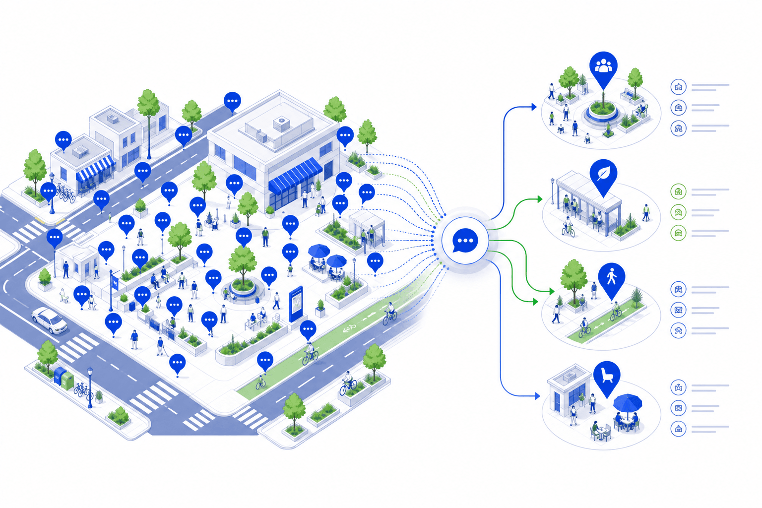
Viewary helps teams move beyond a long list of comments. They can see patterns, understand recurring concerns and use participation data to improve both the project and the process.
Project insight report
Participation activity
Engagement across the project over time.
Location-based feedback
Comments mapped to the places they refer to.
Recurring themes
Patterns that emerge across many voices.
AI-assisted analysis
Summaries and insights surfaced from the conversation.
Recurring themes
Location tags
Pattern overview
Have a city project worth discussing?
Give people a clearer way to experience change. Give your team a better way to understand the conversation.